Aerial Photography

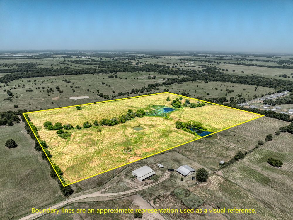
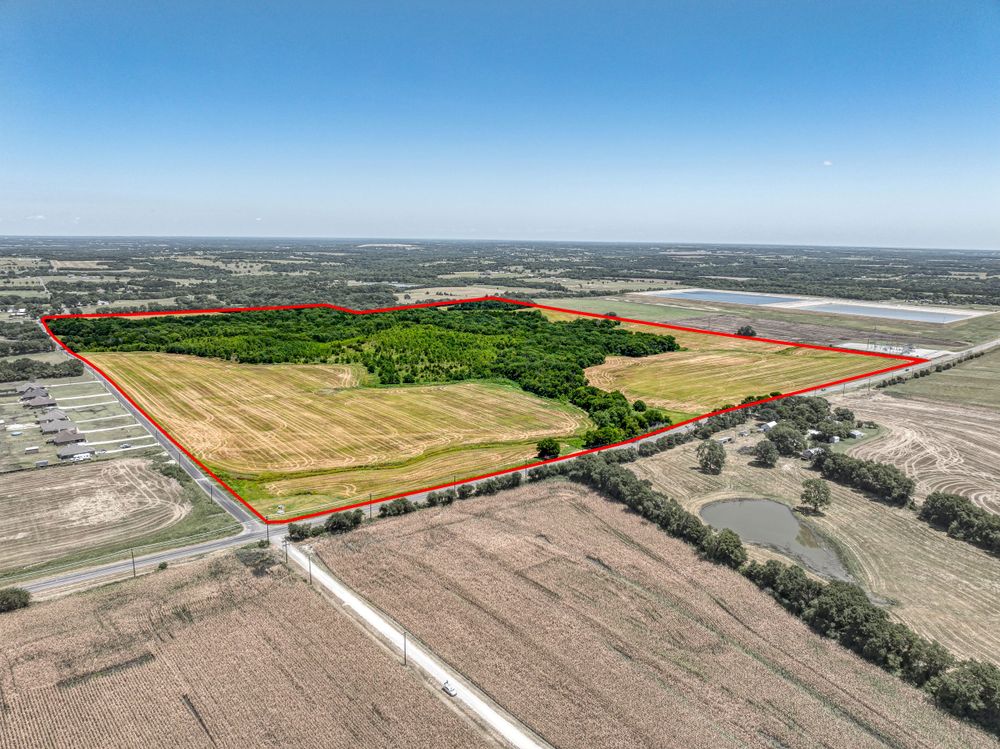
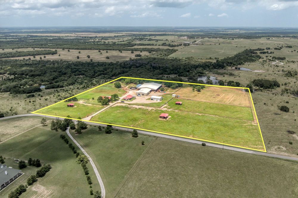
Aerial view of rural property with yellow highlighted boundaries showing land parcel.
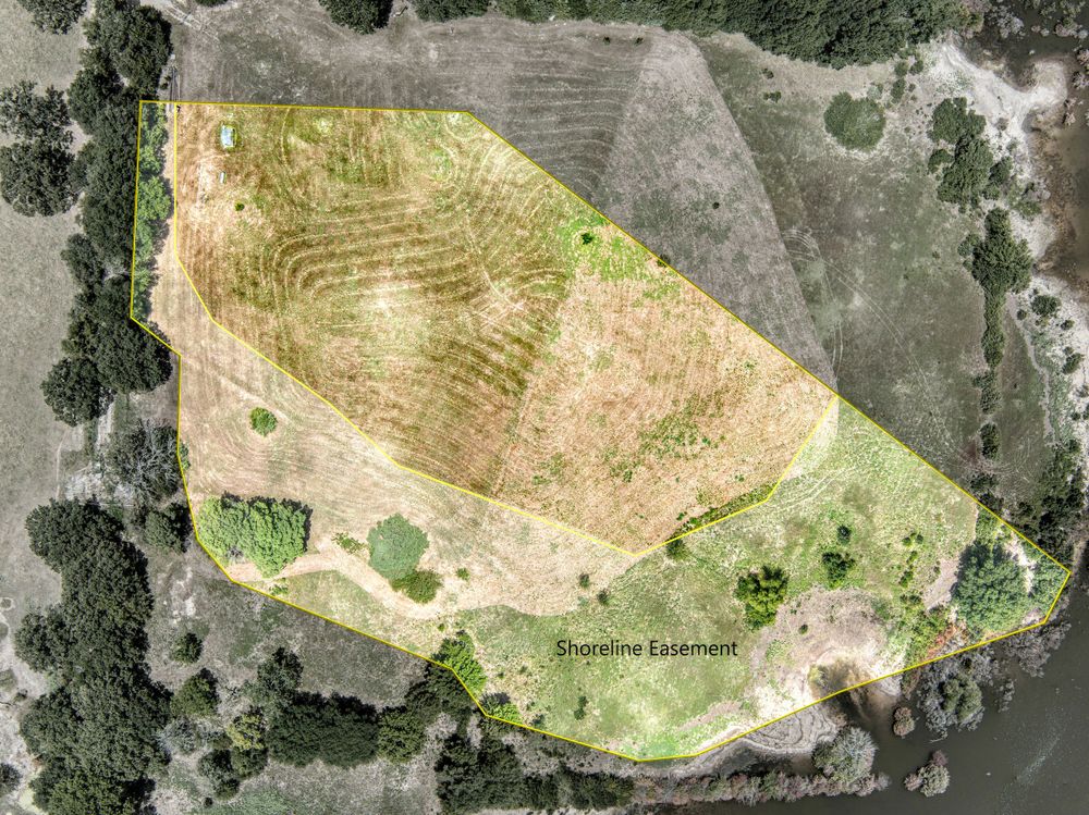
Satellite view of agricultural land showing terrain contours and vegetation patterns.
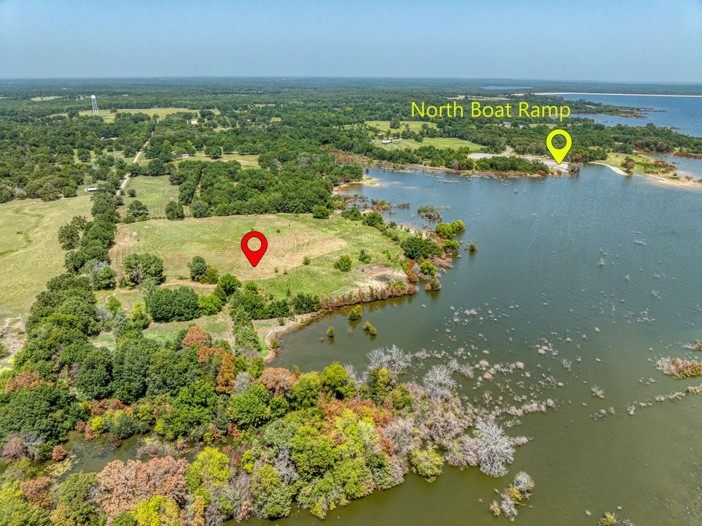
Aerial view of waterfront property with location markers at North Port Ranch.
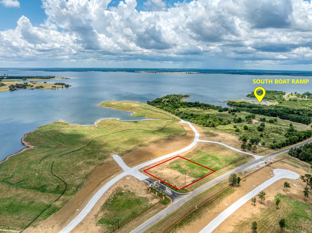
Drone shot of lakefront development with roads and peninsulas under cloudy sky.
Entrance sign and stone monument for Five Points development under blue sky with white puffy clouds.
Aerial view of agricultural land parcels divided by roads with highlighted property boundaries.
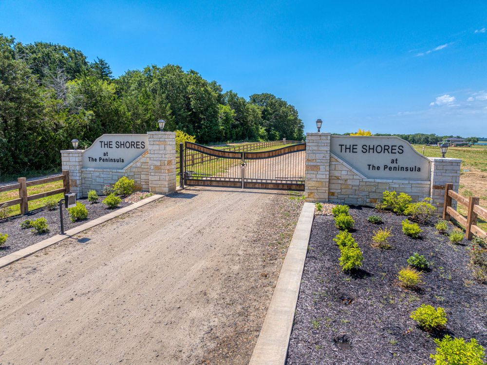
Gated entrance to The Shores development with landscaped stone signage and dirt road.
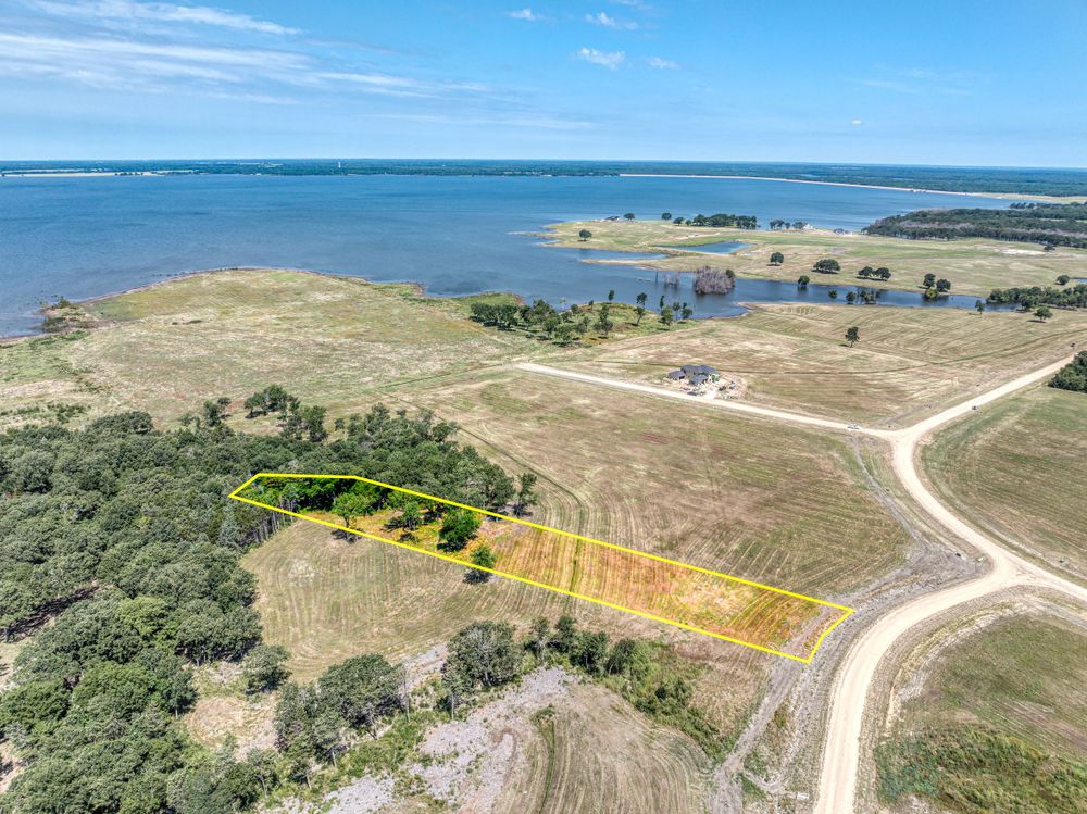
Aerial view of coastal property with marked parcels overlooking a large body of water.
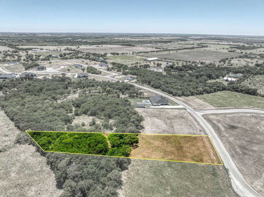
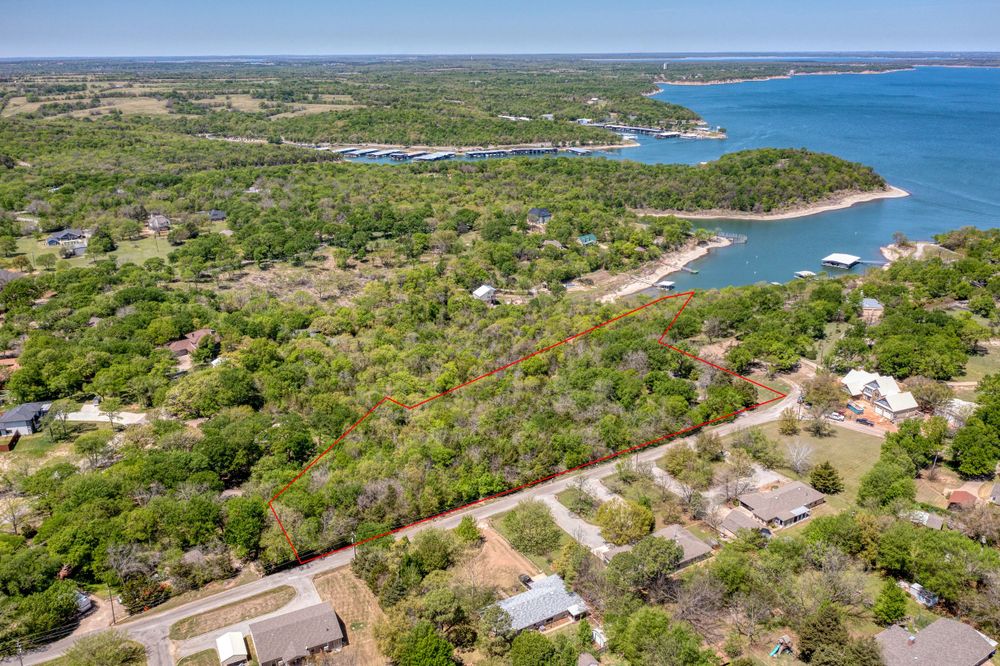
Bird's eye view of rural property with highlighted lots surrounded by trees and winding roads.
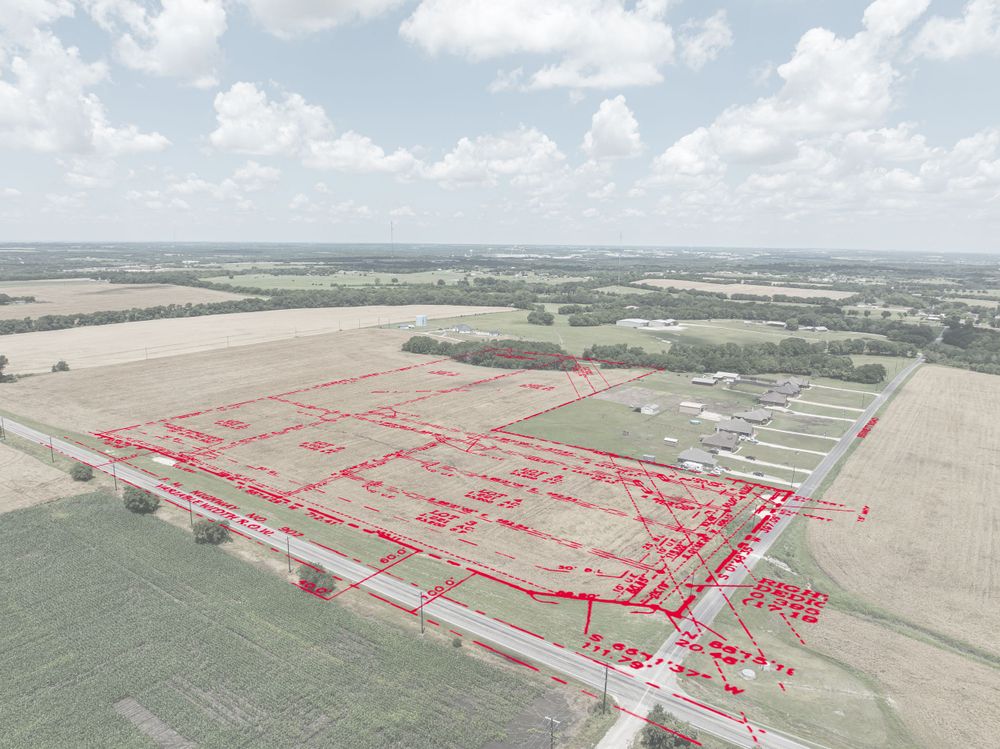
Aerial survey map showing property subdivision layout with red boundary lines.
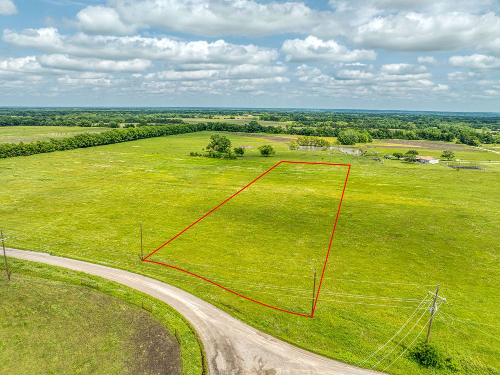
Aerial view of green pasture land with red property boundary markers outlining available lots.
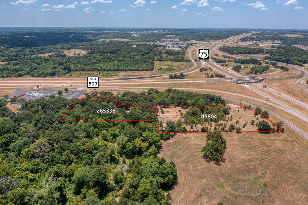
Aerial photograph of highway intersection surrounded by wooded areas and open land.
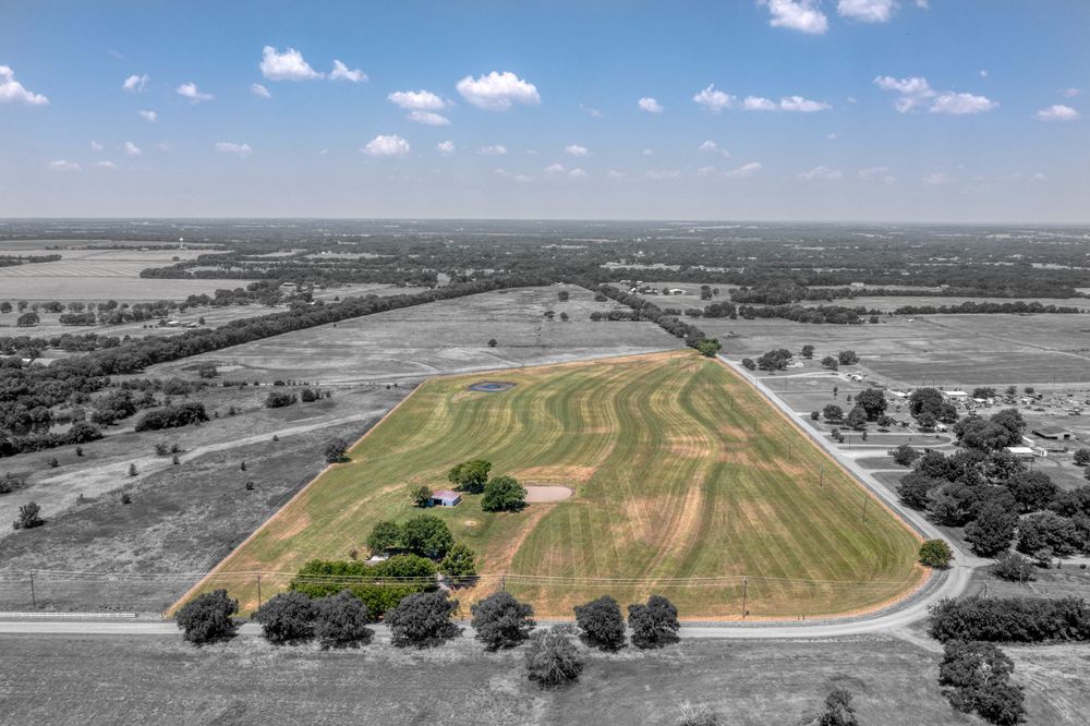
Aerial view of cultivated farmland with curved field patterns highlighted in selective coloring.
Scenic lakefront aerial view showing residential development nestled among trees near shoreline.
Aerial view of dense forest surrounding a lake with winding roads through countryside.
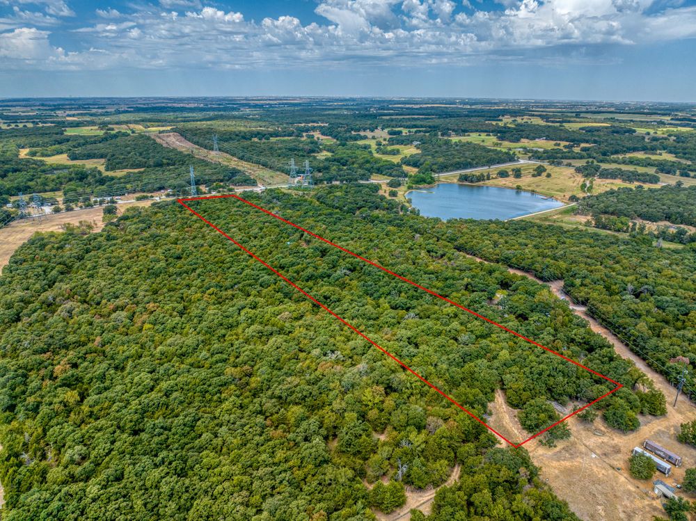
Aerial view of rural farmland and property boundaries marked with yellow lines.
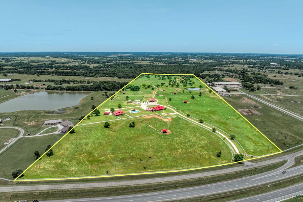
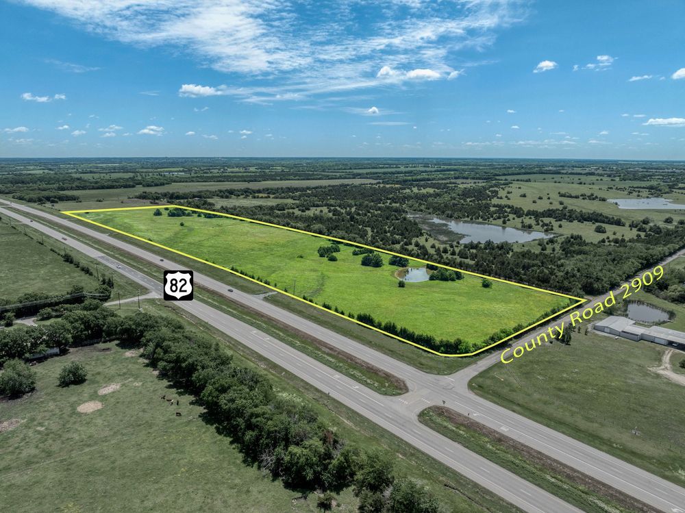
Aerial photography showing highway intersection with property parcels outlined in yellow.
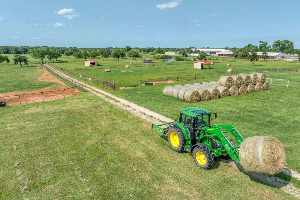
Green John Deere tractor moving hay bales across a rural farm field with red barns visible in the distance.
Aerial view of a highway intersection surrounded by green fields and trees.
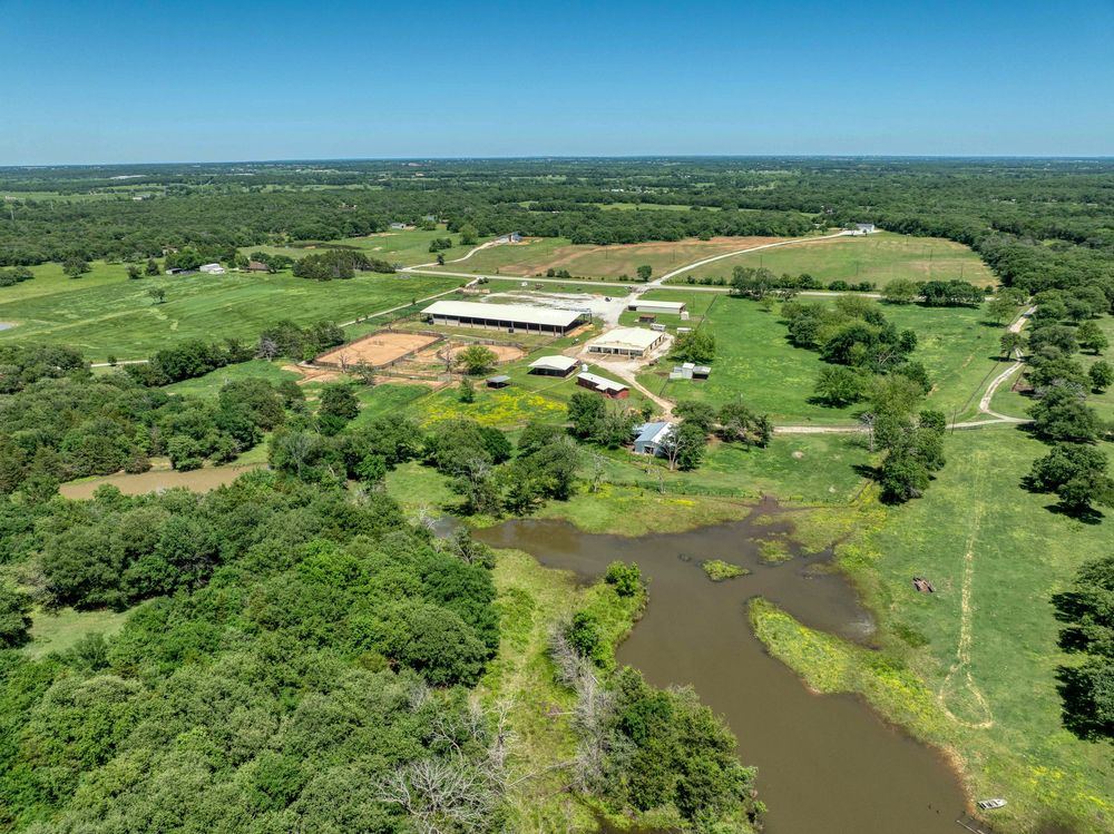
Aerial view of a ranch property with buildings and a pond nestled in rolling green countryside.